
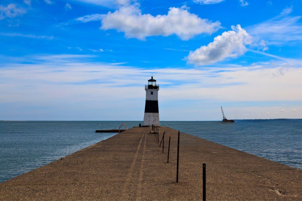
Lake Erie is widely regarded as the most dynamic of the five Great Lakes. A basin that can shift from calm and inviting to forceful and hazardous within hours. Bordering both the United States and Canada, it plays a central role in regional weather systems, commercial shipping, fisheries, drinking water supply, and recreation for more than 11 million people.
Its defining characteristic is depth or rather, lack of it. As the shallowest of the Great Lakes by average depth, Lake Erie responds rapidly to wind, temperature fluctuations, and seasonal change. That responsiveness makes it one of the most biologically productive freshwater systems in North America and also one of the most unpredictable.
Location and Physical Characteristics
Lake Erie lies between the province of Ontario and the U.S. states of Ohio, Pennsylvania, New York, and Michigan. Hydrologically, it connects Lake Huron to the Atlantic Ocean via the Detroit River, Niagara River, Lake Ontario, and the St. Lawrence Seaway, forming a critical link in North America’s inland shipping network.
Key Dimensions
- Surface area: 9,910 square miles (25,700 km²)
- Length: 241 miles (388 km)
- Average depth: 62 feet (19 meters)
- Maximum depth: ~210 feet (64 meters)
- Volume: Smallest of the Great Lakes by water volume
For comparison, Lake Superior’s average depth exceeds 480 feet nearly eight times deeper. That contrast explains much of Lake Erie’s distinct behavior.
The basin is often divided into three sections:
- Western Basin – Shallowest and warmest; highly productive but prone to algal blooms
- Central Basin – Moderate depth; seasonally develops low-oxygen zones
- Eastern Basin – Deepest and coldest; supports cold-water fisheries

Lake Erie’s Link to Lake Ontario
Lake Erie is directly connected to Lake Ontario through the Niagara River, making it a critical part of the Great Lakes–St. Lawrence watershed. Water, nutrients, sediment, and even invasive species can move through this system, meaning changes in Lake Erie often influence downstream conditions in Lake Ontario as well.
Because Lake Ontario is much deeper and colder, it behaves differently with slower seasonal warming, less frequent full ice cover, and different wave dynamics. Together, these two lakes form one of the most important freshwater corridors in North America.
➡️ Read our full guide to Lake Ontario.
Weather, Waves, and Rapidly Changing Conditions
Because of its shallow depth and broad wind fetch, Lake Erie reacts quickly to atmospheric shifts. Even moderate winds can generate steep, closely spaced waves that challenge boaters. Unlike deeper lakes where wave energy disperses vertically, Erie’s limited depth concentrates wave motion, producing short-period, choppy conditions.
This is a major reason it is often considered the most hazardous of the Great Lakes during storms.
Notable Characteristics
- Warms quickly in spring and remains warmer into autumn
- Frequently experiences rapid storm development
- Prone to seiches (wind-driven water level shifts)
- Generates lake-effect snow in winter
In winter, its shallow waters freeze more extensively than the other Great Lakes. During particularly cold years, ice cover has exceeded 90% of the surface area.
Water levels fluctuate seasonally and can be temporarily displaced several feet by strong winds pushing water toward one shoreline.
Beaches, Shorelines, and Recreational Appeal
Despite its volatility, Lake Erie hosts some of the most accessible freshwater beaches in North America. Warmer summer surface temperatures often reaching the mid-70s°F (low 20s°C) make it especially popular for swimming.
The shoreline features:
- Sandy public beaches and state parks
- Metropark systems with trails and wetlands
- Erosional bluffs shaped by wave action
- Barrier beaches and dune systems
Ongoing shoreline erosion remains a management concern, particularly along high-bluff areas in Ohio and Pennsylvania.

A World-Class Freshwater Fishery
Lake Erie is widely considered the most productive fishery in the Great Lakes system. Its nutrient-rich waters and moderate depth create ideal spawning and feeding conditions.
Major Species
- Walleye (one of the largest populations in the world)
- Yellow perch
- Smallmouth bass
- Steelhead (in tributaries)
In strong years, walleye hatches have produced tens of millions of juvenile fish, supporting a recreational fishing industry worth billions of dollars annually.
However, productivity comes with ecological complexity. Seasonal stratification in the central basin can lead to hypoxic (low-oxygen) zones, particularly in late summer.
Historical Significance: The Battle of Lake Erie
Lake Erie played a decisive role during the War of 1812. On September 10, 1813, American naval forces led by Commodore Oliver Hazard Perry defeated the British fleet in the western basin.
After securing victory, Perry sent his now-famous message:
“We have met the enemy and they are ours.”
Control of the lake allowed U.S. forces to regain Detroit and shift momentum in the Great Lakes theater.
Today, dozens of preserved shipwrecks rest beneath its surface. Cold freshwater conditions slow biological decay, making Erie one of the most significant inland maritime archaeological regions in North America.
Environmental Crisis and Recovery
By the mid-20th century, Lake Erie became a symbol of industrial pollution. Phosphorus runoff from agriculture, untreated sewage, and industrial discharge triggered widespread eutrophication. Algal blooms depleted oxygen levels, leading to fish kills and degraded water quality.
The 1969 Cuyahoga River fire within the same watershed helped galvanize environmental reform, ultimately contributing to the Clean Water Act and the binational Great Lakes Water Quality Agreement.
Major Improvements
- Wastewater treatment upgrades
- Industrial discharge regulation
- Phosphorus load reductions
- Fish population recovery
However, challenges remain.
In 2014, a harmful algal bloom contaminated the drinking water supply for nearly 400,000 residents in Toledo, Ohio. The western basin continues to experience recurring blooms fueled primarily by agricultural phosphorus runoff.
Modern management focuses on nutrient reduction targets, watershed monitoring, and cross-border coordination.
Islands, Wildlife, and Ecological Diversity
The Lake Erie islands including Kelleys Island, Put-in-Bay (South Bass Island), and Pelee Island form a unique ecological and cultural zone.
The region supports:
- Major migratory bird stopovers
- Rare limestone alvar habitats
- Wetland ecosystems critical for spawning fish
- The Lake Erie water snake (non-venomous and once endangered)
Rattlesnake Island, despite its name, is private and not open to the public.
Explore More Lakes in Canada
While Lake Erie is one of Canada’s most well-known southern lakes, it represents only a small fraction of the country’s freshwater landscape. Canada contains thousands of major lakes from the Great Lakes system to massive northern basins supporting drinking water, wildlife habitat, fisheries, hydropower, and recreation.
➡️ Explore our complete collection of guides here: Lakes in Canada.
Why Lake Erie Stands Apart
Lake Erie is not the largest, deepest, or coldest Great Lake. But it may be the most responsive and ecologically active.
Its shallow profile makes it:
- The warmest
- The most biologically productive
- The quickest to react to weather
- The most prone to algal blooms
- One of the most economically significant fisheries
That combination of productivity and volatility defines its identity.
Final Perspective
Lake Erie is best understood not as a static body of water, but as a highly dynamic freshwater system shaped by wind energy, nutrient flow, seasonal stratification, and human influence.
It supports major cities, drives regional weather, anchors tourism economies, and remains central to Great Lakes environmental policy.
Few freshwater systems in North America are studied, monitored, and discussed as intensely and for good reason.
Lake Erie is complex, powerful, productive, and constantly changing. 🌊
FAQs About Lake Erie
1. Where is Lake Erie located?
Lake Erie is located between Ontario (Canada) and the U.S. states of Ohio, Pennsylvania, New York, and Michigan. It is the southernmost of the five Great Lakes and forms part of the Great Lakes–St. Lawrence River system.
2. How big is Lake Erie?
Lake Erie covers approximately 9,910 square miles (25,700 km²). It is the fourth-largest Great Lake by surface area, but the smallest by volume due to its shallow depth.
3. How deep is Lake Erie?
Lake Erie has an average depth of about 62 feet (19 meters) and a maximum depth of around 210 feet (64 meters). Its shallow profile causes it to warm faster in summer and freeze more extensively in winter than the other Great Lakes.
4. Why is Lake Erie considered dangerous?
Lake Erie can be dangerous because its shallow waters allow wind to create steep, closely spaced waves. Weather conditions can change rapidly, and storms may generate rough water faster than on deeper lakes.
5. What fish are in Lake Erie?
Lake Erie supports one of the most productive freshwater fisheries in North America. Common species include:
- Walleye
- Yellow perch
- Smallmouth bass
- Steelhead
- Northern pike